Affichages


De La Librairie Thermographique
(Vue satellite de l'incendie de Pole Creek, Oregon USA: 19/09/2012 Source: [http://glovis.usgs.gov/ USGS] Auteur: [http://commons.wikimedia.org/wiki/User:Bourrichon Bourrichon]] catégorie:illustration) |
|||
| Ligne 3 : | Ligne 3 : | ||
Source: [http://glovis.usgs.gov/ USGS] | Source: [http://glovis.usgs.gov/ USGS] | ||
| − | Auteur: [http://commons.wikimedia.org/wiki/User:Bourrichon Bourrichon | + | Auteur: [http://commons.wikimedia.org/wiki/User:Bourrichon Bourrichon] |
[[catégorie:illustration]] | [[catégorie:illustration]] | ||


Version actuelle en date du 5 août 2013 à 15:26
Vue satellite de l'incendie de Pole Creek, Oregon USA: 19/09/2012
Source: USGS
Auteur: Bourrichon
Historique du fichier
Cliquer sur une date et heure pour voir le fichier tel qu'il était à ce moment-là.
| Date et heure | Vignette | Dimensions | Utilisateur | Commentaire | |
|---|---|---|---|---|---|
| actuel | 5 août 2013 à 15:22 | 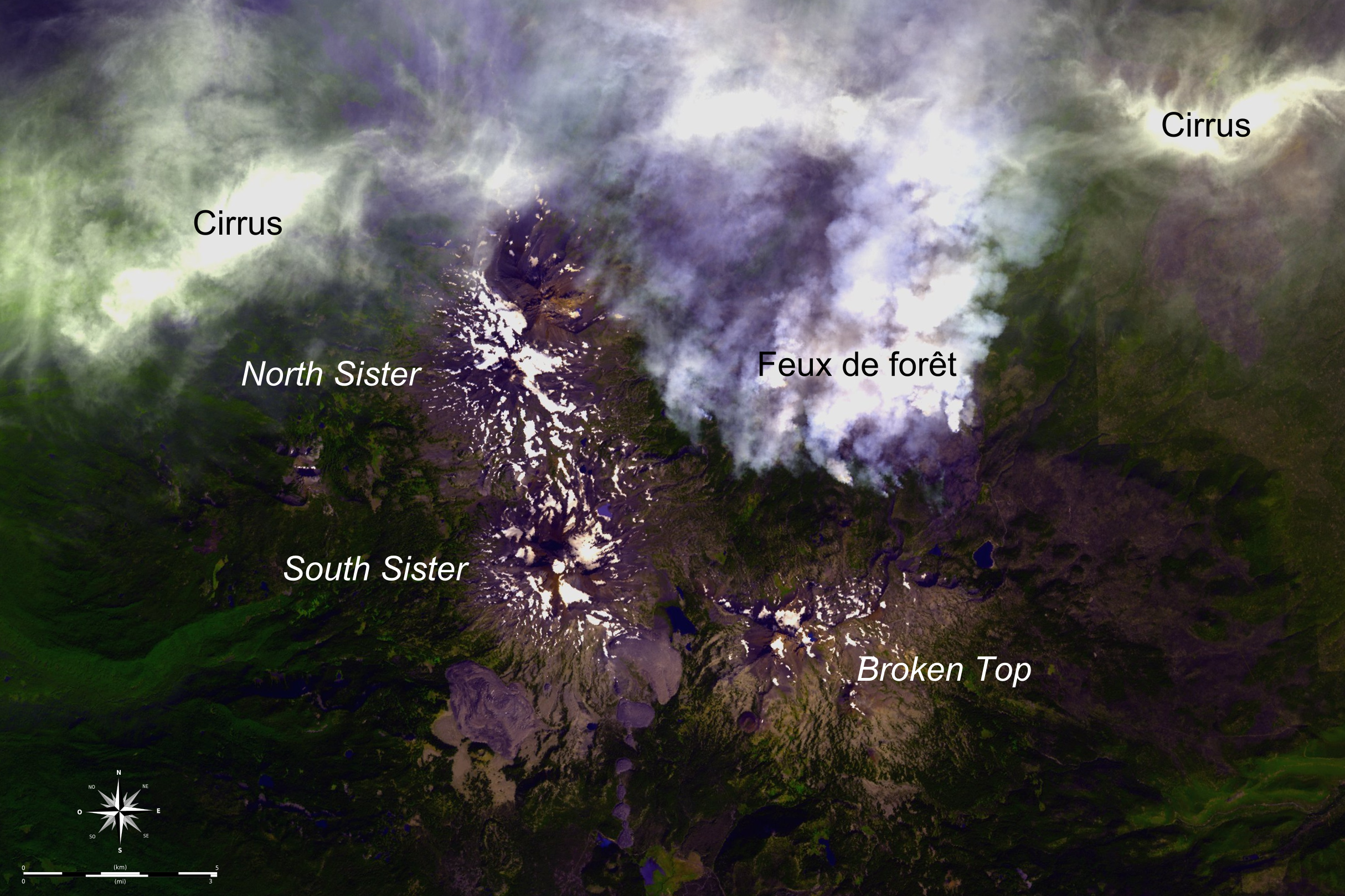 | 2 429 × 1 619 (5,08 Mio) | Hcrepin (discuter | contributions) | Vue satellite de l'incendie de Pole Creek, Oregon USA: 19/09/2012 Source: [http://glovis.usgs.gov/ USGS] Auteur: [http://commons.wikimedia.org/wiki/User:Bourrichon Bourrichon]] catégorie:illustration |
- Vous ne pouvez pas remplacer ce fichier.
- Modifier ce fichier en utilisant une application externe (Consulter les instructions d'installation pour plus d'informations)

Utilisation du fichier
Le fichier suivant est un duplicata de celui-ci (plus de détails) :

- Fichier:Three Sisters Fire Smokes ASTER 2012-09-19.png de : Wikimédia Commons

Les 3 pages suivantes utilisent ce fichier :


